
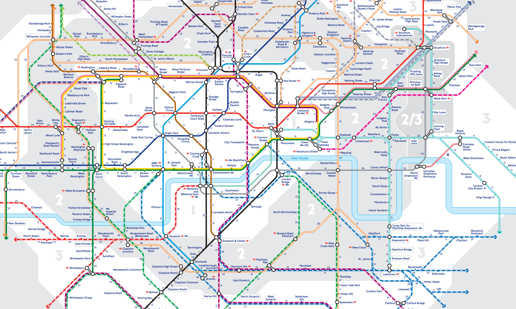
New Tube Map from TFL
This week TFL have released a new tube map to help planning your journeys better. On this new map they have highlighted the average time it takes to walk between stations, helping people decide whether or not it is better to go underground or just to stay above and walk.
The incentive behind this is to ease peak times on the Underground network and make people more aware of the easier and more comfortable ways to get around the city. The longest walk on the tube map is between Canning Town and North Greenwich on the Jubilee line, totalling an hour and 44-minutes.
You can see the full map here.
This website uses cookies so that we can provide you with the best user experience possible. Cookie information is stored in your browser and performs functions such as recognising you when you return to our website and helping our team to understand which sections of the website you find most interesting and useful.
Strictly Necessary Cookie should be enabled at all times so that we can save your preferences for cookie settings.
If you disable this cookie, we will not be able to save your preferences. This means that every time you visit this website you will need to enable or disable cookies again.
This website uses Google Analytics to collect anonymous information such as the number of visitors to the site, and the most popular pages.
Keeping this cookie enabled helps us to improve our website.
Please enable Strictly Necessary Cookies first so that we can save your preferences!